Posts

Showing posts with the label blue ridge

Crane Creek Falls & Yellow Jacket Falls, South Carolina

Image
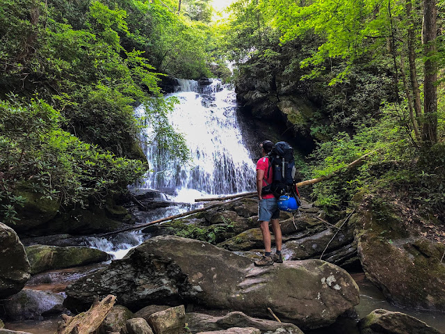
Bushwhacking isn't for everyone, but when done knowledgeably it can lead to some of the biggest rewards.  This was the case with Crane Creek Falls & Yellow Jacket Falls on Crane Creek in Oconee County, South Carolina.  We had been planning this trip for weeks, but I was looking forward to it even longer.  I had seen several photos for both Crane Creek Falls & Yellow Jacket Falls a handful of times, but never any real video, and all the photos were a bit tough to tell the scale of the falls.  Our little group consisting of Leslie, Lindsay, Josh, David, and myself were met early on a Saturday morning with a HUGE cloud inversion in the Cheoee Valley.  This created a dense fog as we moved up the mountain on the dirt road to the GPS coordinates for the beginning of the hike.  As we parked the cars, the fog engulfed us and the tops of trees were not even visible but looked merely like shadows in a dimly lit vast forest.  We gathered our gear and proc...
Coyote Falls, Cashiers, North Carolina

Image
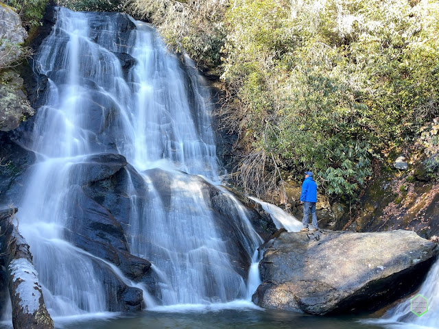
Once and a while you come across a hidden gem in almost plain sight.  This is the case with the rarely visited Coyote Falls.  Located only a 1/4 down Hwy 107 from the very popular Silver Run Falls turnoff, Coyote Falls remains seldomly traveled.   I was making plans for a weekend of hiking one evening, and speaking to my friend and fellow explorer Leslie about some Cashiers/Glenville area hikes when she mentioned Coyote Falls.  I had never heard of this falls, so of course, like any other person these days in the age of technology, I googled it.  There was NOT much information available online, but I was able to find GPS coordinates for the trailhead, which is really all I needed.  There were a few photos, but nothing on AllTrails and a little on google.   This particular early Saturday morning, I had planned to hit up High Falls near Lake Glenville, then Silver Run Falls, and if time allowed, possibly Coyote Falls.  After a great visit ...

Mashbox Falls, South Carolina

Image
Hidden Gems lay all around us!  You never know what's around that corner or threw those trees until you make the turn or go look. I recently received a trail map from another member of a Carolina hiking group on social media after an inquiry.  I had been to Ceaser's Head State Park several times and hiked some of the most difficult trails the park has to offer.  Raven Cliff Falls by Dismal Trail Loop to name the most strenuous.  Also, the very popular sites of Bald Rock and the Ceaser's Head Lookout are almost always packed with tourists and "casual" explorers.  I wasn't sure what to make of this newly passed along map and I only saw one photo of the final falls which "seemed" to be a large and tall waterfall, but pictures can be most deceiving. Gus and I were game!  Having hiked most upstate trails in SC already and hitting some of our favorite spots this particular Spring, we were searching for a change anyways.  We charged up the camera gear, down...

Opossum Creek Falls Camping Trip, South Carolina

Image
Do your legs get itchy for adventure?  Have you ever had a longing for a walk in the woods to settle your soul?  Same here! As Memorial Weekend was quickly approaching, my plans started to fall through and shift a bit.  I always want to make sure that there is no wasted time off, especially for a long weekend!  I began to ponder on which areas to go and camp for a night.  I quick hike with great views, water nearby and not too long of a distance were my basic criteria.  A few came to mind, but Opossum Creek Falls jumped to the top of the list quickly. This would be my second time visiting Opossum Creek Falls.  This great waterfall is very close to the Chattooga River which acts as the border for South Carolina and Georgia.  The Chattooga is a popular rafting and kayaking river as it offers several series of rapids and some decently faster whitewater, but also isn't terribly deep or too dangerous.  This would be a great spot to camp, h...